May 20, 2006


Little did I know what I was getting into when I registered for the Xterra tri at Lake Sherando. This tri is know as the toughest Xterra in the country. The race consisted of a 1 mile swim, 8 mile run/hike, and 2-12 mile laps of a hike/bike. I opted to do the sport class which did only 1 mtb lap.

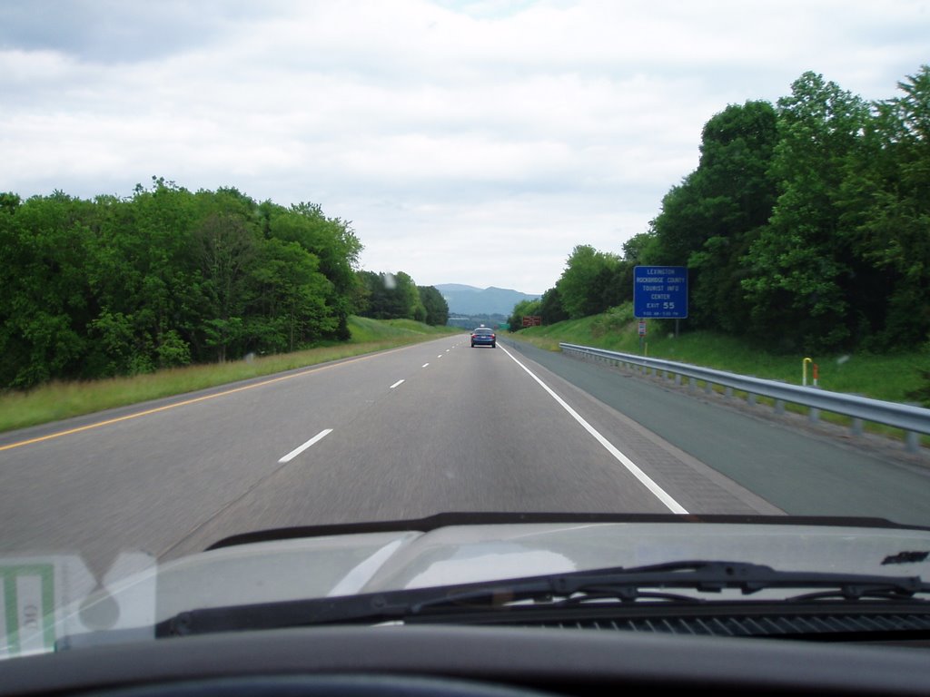
I hopped in my trusty 4-runner Friday afternoon, loaded my new CD ,
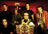
The David Crowder Band, and headed towards Waynesboro. One of my goals this year is to do as many local events as I can in order to keep in shape. I enjoy riding the bike the most but found myself doing more training than racing. So off I go! At just over an hour, Lake Sherando is nestled in the woods of beautiful Augusta County.

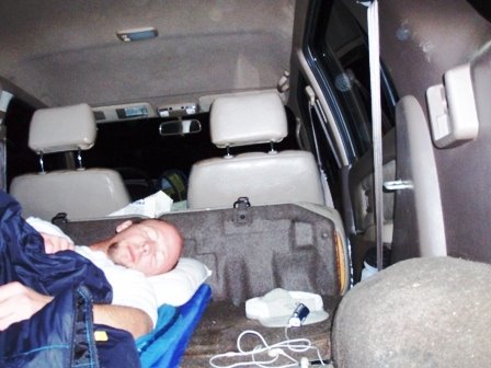
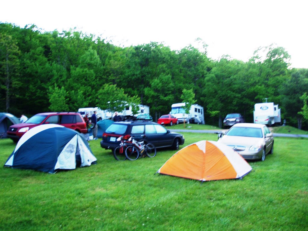
After registration, I headed to the campsite to set up camp and cook a gourmet meal--Ramen Noodles. One nice thing about being short is that I can use my 4-runner as my tent. It also blocks out a lot of unwanted noise and light. I fired my pocket rocket stove and cooked a few noodles.


Man, I slept good that night. Up around 6:30, ate a little breakfast and began my pre-race routine. I put on my favorite race
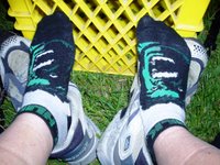
socks--The Hulk and headed to the transition areas to set up my gear.

It was a beautiful day, the skies were clear and temps in the mid 50's. The temp was supposed to reach low 70's. The order of the day was to swim 1 mile, trail run/hike 8, then hike/bike 12. I dropped my bike and riding gear at the 2nd transition area and proceeded to the lake with my wetsuit and running gear. All was going fine until I heard the water temp was 58. Man, that's cold, even with a full wetsuit. Placed a little Bodyglide

in the right places and squeezed into the wetsuit. Went out into the water to acclimate and the temp didn't feel that bad. At about 9 AM, the gun sounded and off we went.

Oh yeah, there was a warning about geese attacking swimmers. WHAT? Yeah, geese! Last year a couple of geese attacked a few swimmers. That is all I need, a big 50 lb goose pecking at my head. Anyway, the gun sounded. I didn't make it 100 yards before I stated gasping for air. Not that I can't swim, I am very comfortable swimming 1-2 miles. BUT THAT 58 DEGREE WATER WAS COLD. I thought it would be fine but as soon as my head went under to stroke my usual 4 strokes, I was gasping. My chest felt like it had a 1000 lb truck sitting on it. I continued to attempt to get in a rythem and couldn't. About 1/4 mile, I was ready to quit. I couldn't breath and could hardly swim. I didn't see a boat close by so I decided to swim another 1/4 to the dam (turnaround spot). There was a ladder I could hang unto if needed. Once I made it to the 1/2 mile mark, I was finally over the cold shock and able to swim in my usual 4 rythem. However, I had already lost about 10 minutes to the main field.
Finally, made it out of the water in about 28 minutes, peeled the wetsuit off, downed some Hammer Gel glue.

I love Hammer products but I don't recommend tropical flavor. Its like homemade cough syrup gone bad. My whole body felt frozen and tight. The run/hike started with about a 2 mile uphill climb on Blue Loop Trail then to Overlook rocks. Because my calves were still frozen, they were killing me with ever step uphill. The terrain was steep and technical. Lots of rocks and switchbacks. I slowly started catching a few folks on the uphill section. Made it to the top of the ridge line known as the "rock garden" and was able to get in my normal running stride. I knew that this section would be revisted on the bike so I tried to make mental notes of the places that could be hazardous. Too many to remember! Felt good running until the last mile then my feet were getting a little sore. Finished the run in about 1:30.
I was happy to get on the bike and headed down the paved road for about 1.5 miles to the trail head called Satan's Path. Being a preacher, I brought my holy water to ward off the evils of Satan but little did I know Satan would have all of his legions with him. Every one of them jumped on my back and wouldn't let go. Way too steep and rocky (big loose rocks) for me to ride. So for the first hour, I am hiking, pushing, pulling my bike uphill. I had the wrong shoes for that stuff. My stiff Sidi Dominators and the steepness were causing my calves to lockup. Everytime I got to a place where I could pedal, I attempted to ride but couldn't get the pedals to turn over enough to keep the wheels rolling over the rocks. My calves would cramp and I would fall over. Satan and his legion wouldn't let go. Finally, made it to the Torrey Ridge but then there is another rock garden. Where the heck did all these rocks come from. It was like someone dropped millions of rocks on the trail to make life miserable. Whoever came up with this course for a race must have been on crack.
I finally was able to ride the bike through some of the stuff and the last 4 miles wasn't that bad. It was a fast downhill section with some cool creek crossings. I started to pick up the pace a little and caught a few riders. What was unreal to me is the first 3 places of the pro class passed me and they were on their 2nd lap. I couldn't imagine riding that course as fast as they did. With about 1/4 mile to go, the trail opened up to a gravel road. I saw another rider coming up quickly on my rear so I locked out my 2001 rock shox SID SL shock and refused to let him pass. I kept him back about a bike length and new I could beat him to the bike width gate leading to the road. There is then a 90 degree turn to the right then a 120 degree turn left leading to the finish. I was first through the gate, took a good right turn and had about 3 bike links on him. My eyes were set on the orange tape showing the left turn. I misjudged the turn and almost went on the wrong (outer) side of the tape. I had to hit the brakes a little which let the other rider pass me 50 feet before the finish. At least I didn't get clothelined by the tape.
I finished the bike in 2:15 minutes and you couldn't pay me enough to do another lap. Total time was about 4:15. I finished 11th out of 18 in the sport class in first in my age division. There wasonly one other guy in my age division and he had to drop out becuase of an ankle injury. To the victor goes the spoils, a little medication and a sweet tatoo!
go to about page 25 to get a view of the rock garden.
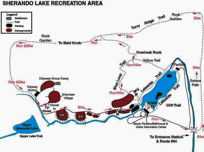
map of the race course.
 "Missed Church,
  "Missed Church,
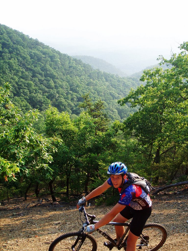
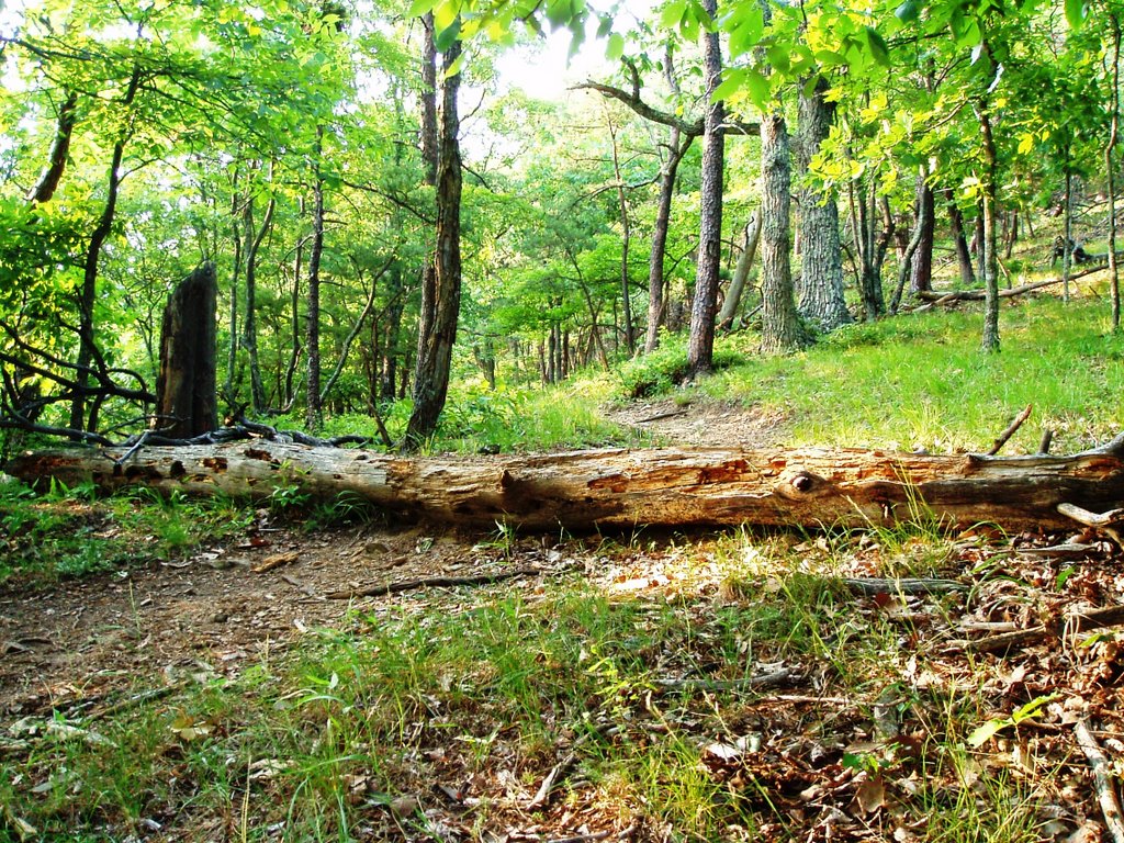
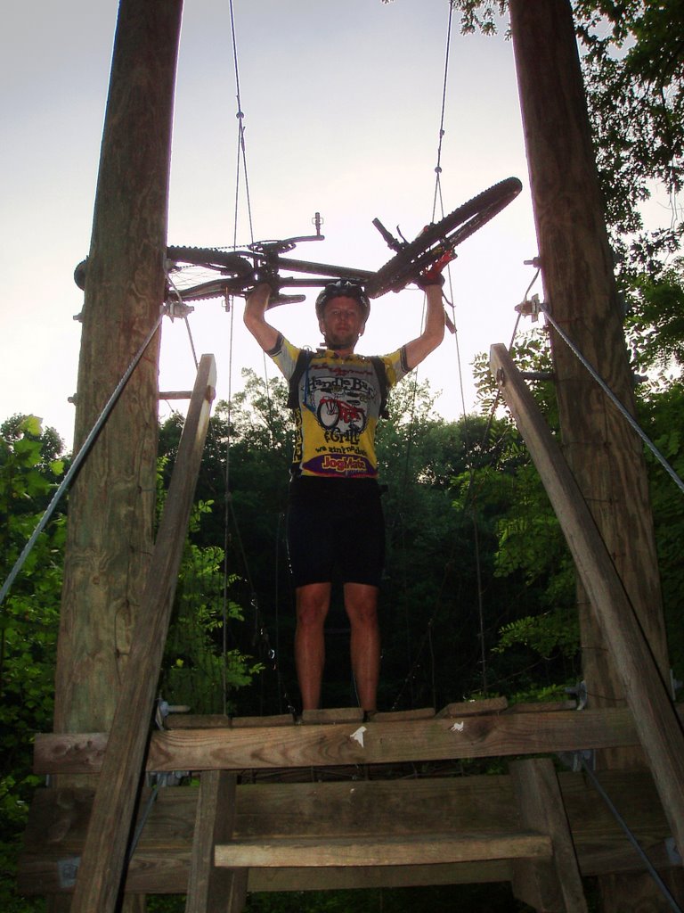
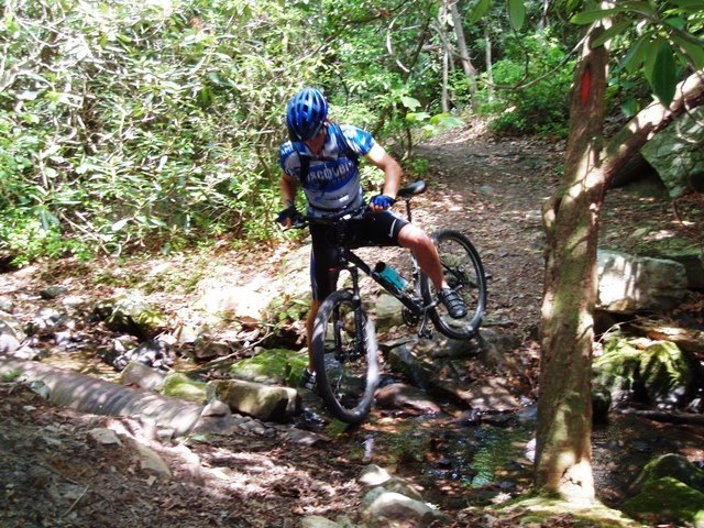
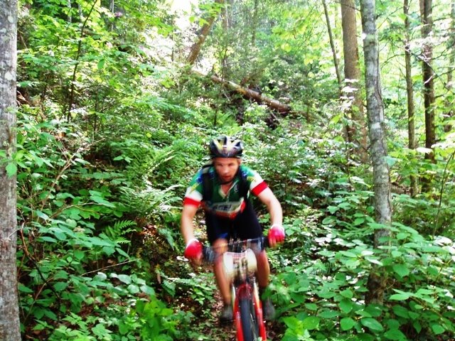
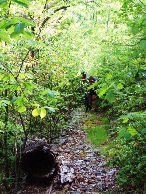
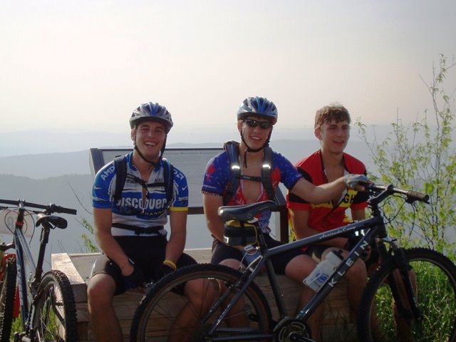
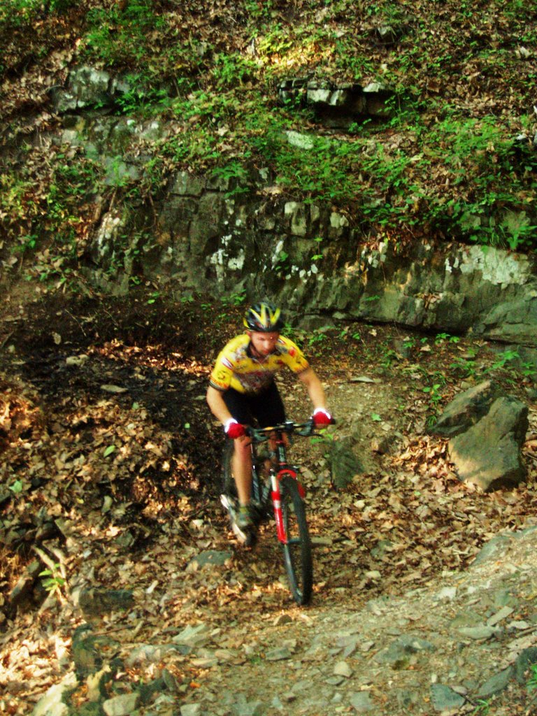
  to the car. Total miles 16 with an elevation gain of 2200. Below are a few pics of the ride.
 to the car. Total miles 16 with an elevation gain of 2200. Below are a few pics of the ride.


